
A short tour
The marina,
in eight features.
Sheltered moorage, dry storage, and a launch ramp — with a thousand miles of Delta waterway right off the dock.
§ Geography
Brannan Island sits on Sevenmile Slough, where the Sacramento bends to meet the Mokelumne — about an hour from the city and a different century from the freeway.
The Sacramento–San Joaquin Delta is one of the strangest geographies on the West Coast — a thousand miles of waterway threading fifty-seven islands. Warm summers, quiet sloughs, and some of the best striper, sturgeon, and bass fishing in California. People who live here call it the secret coast.
§ From the air
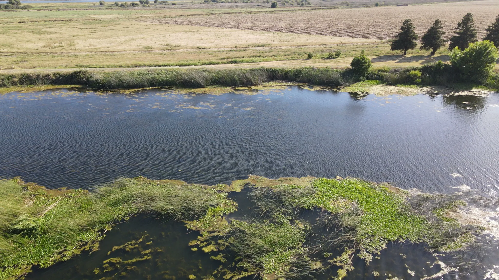
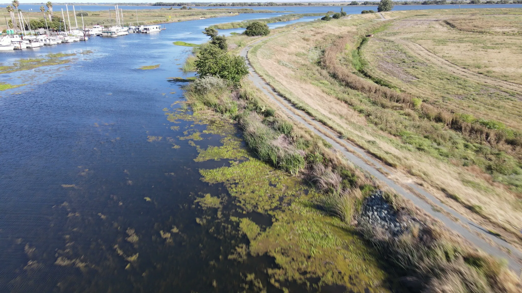
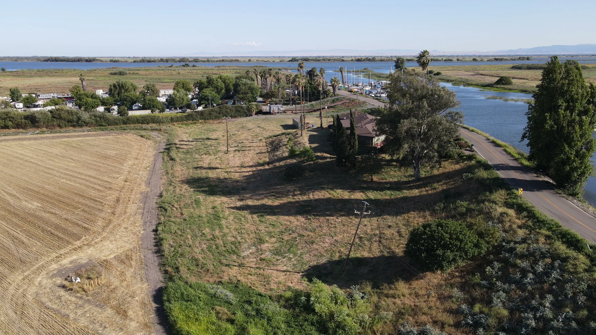
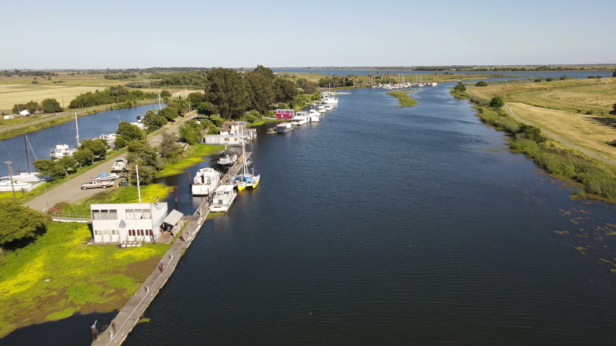
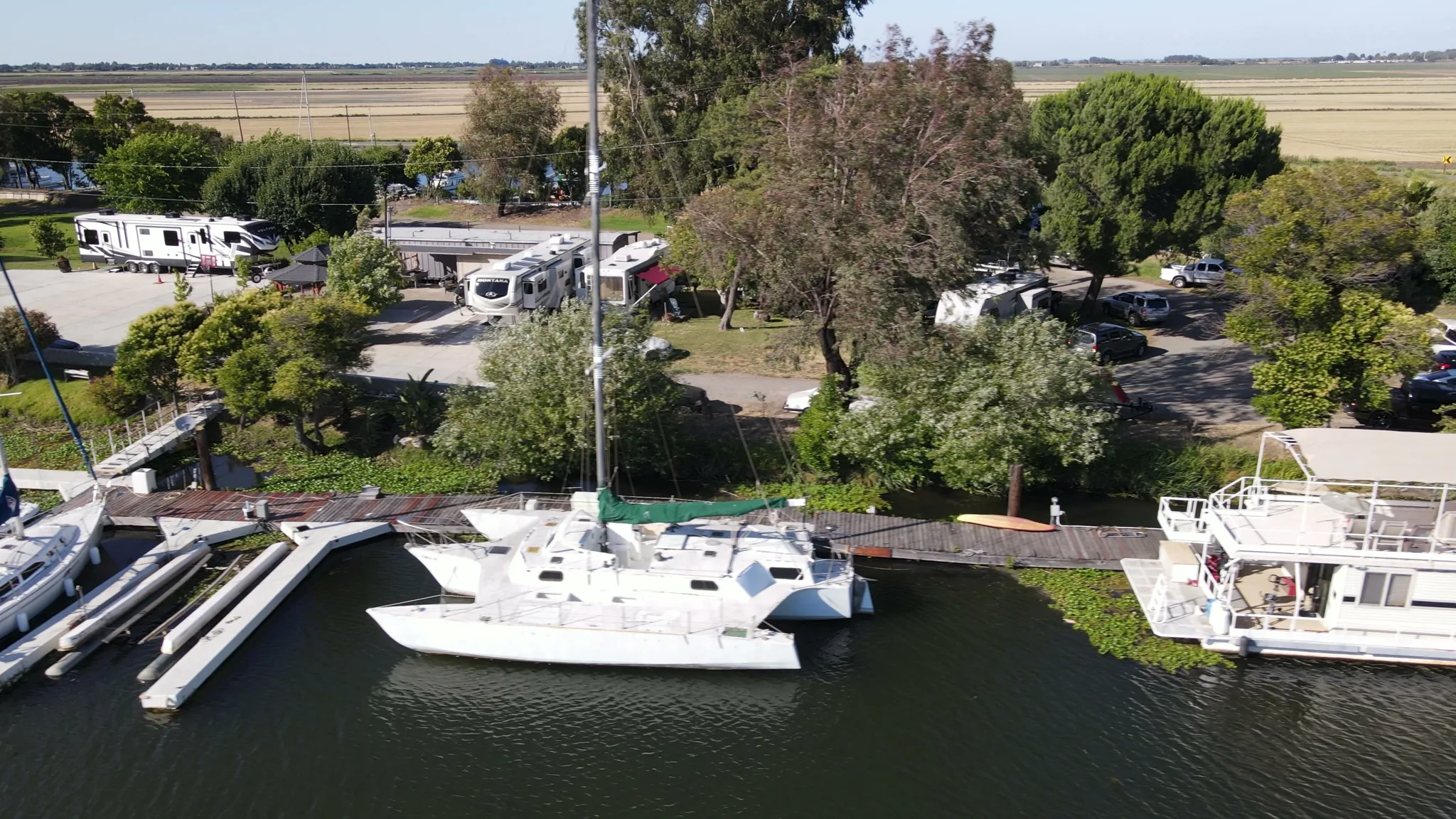
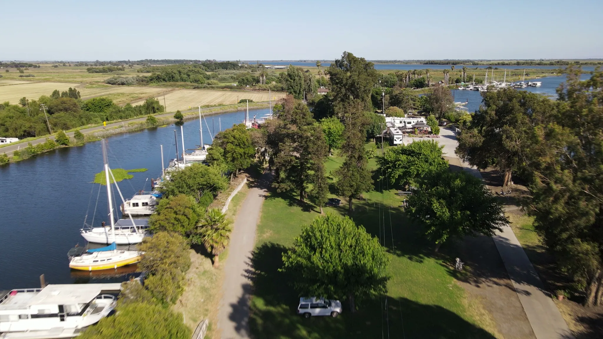
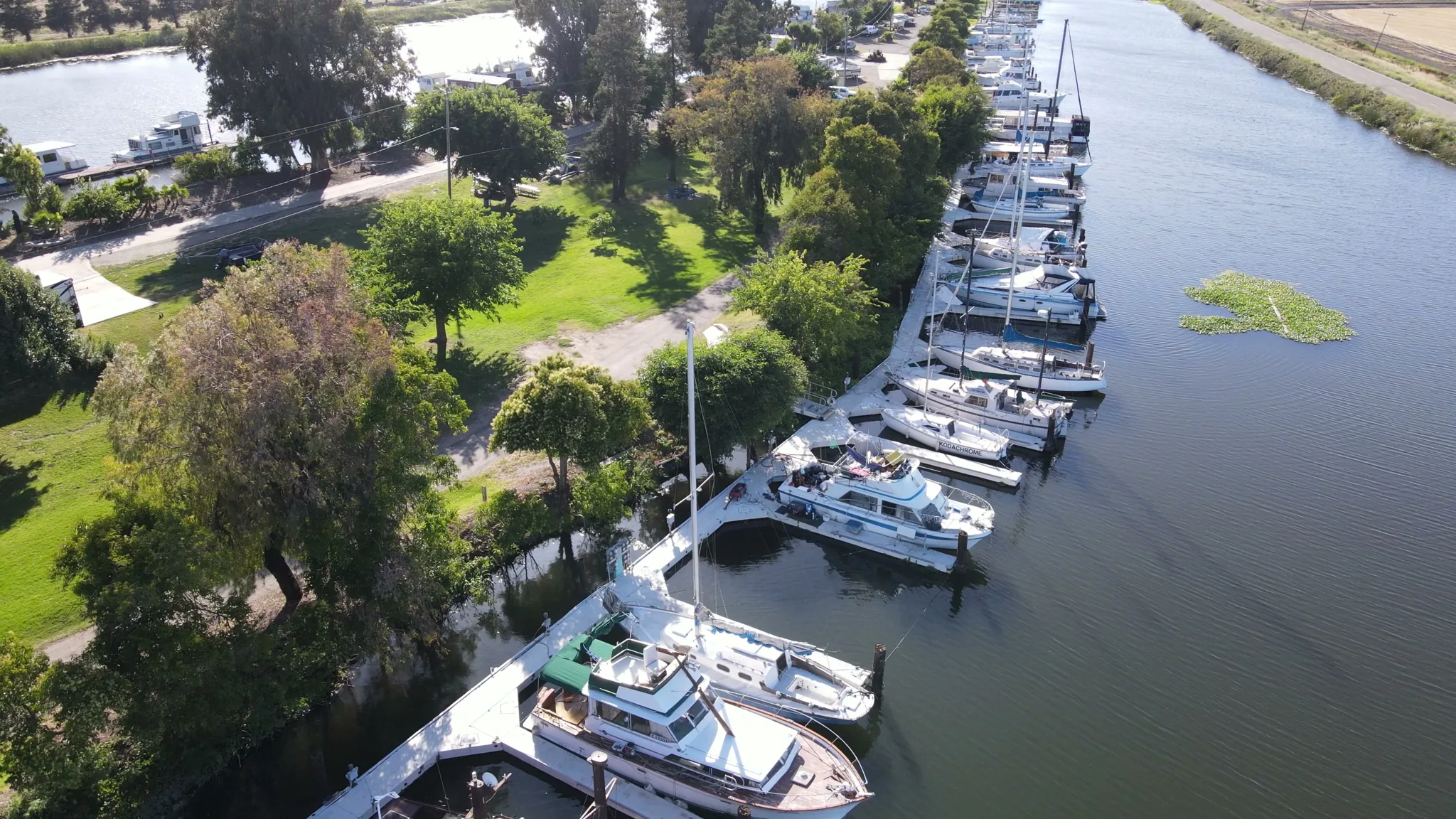
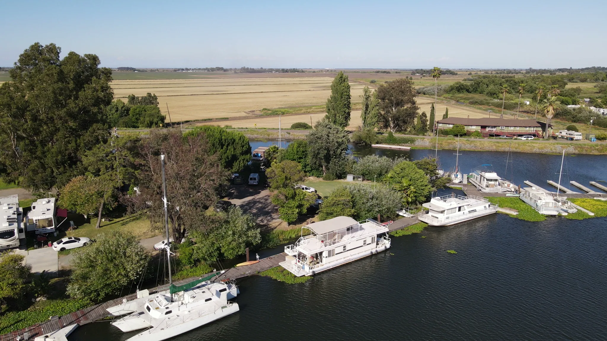
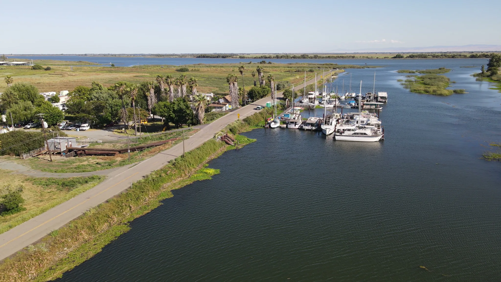
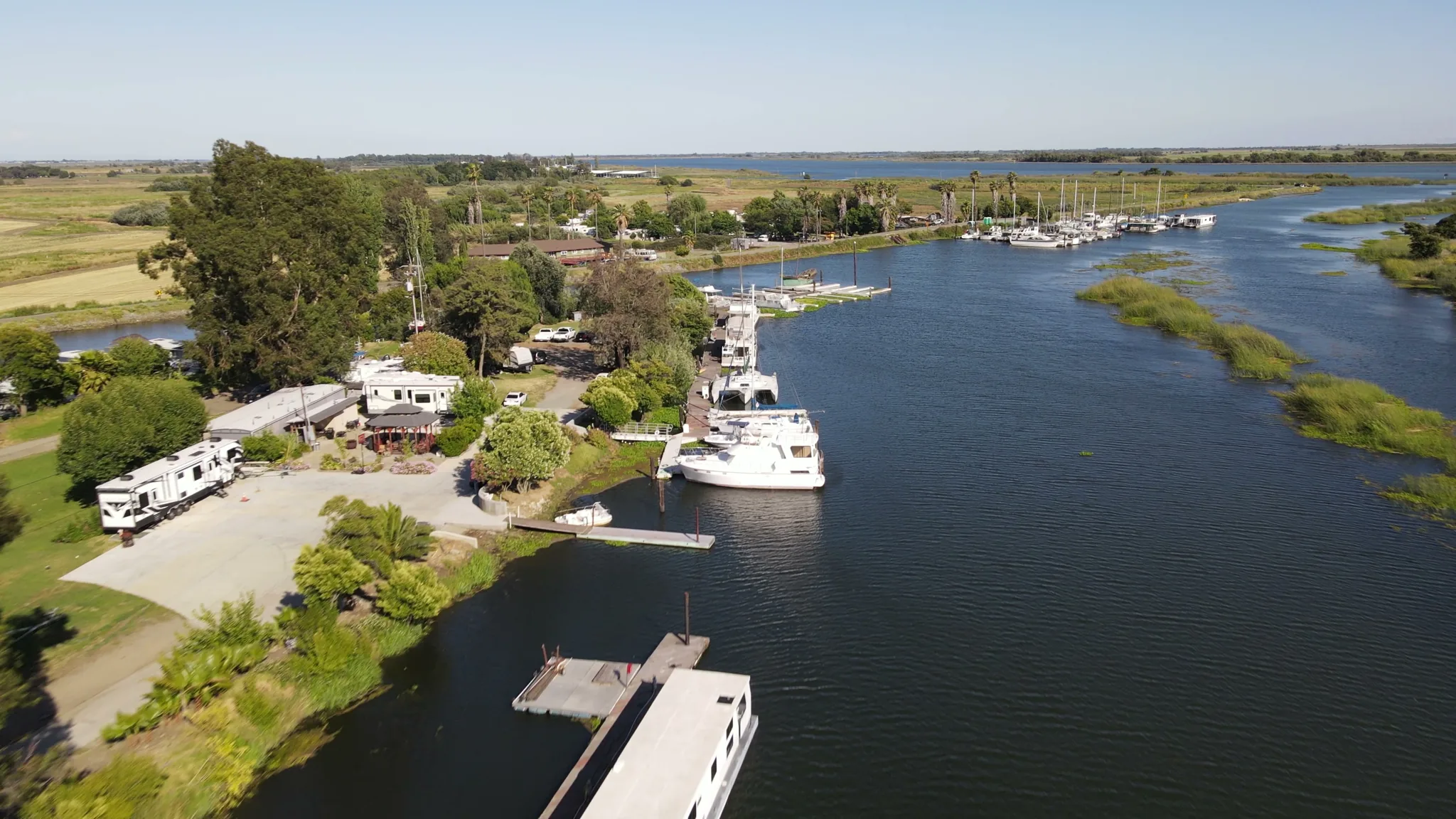
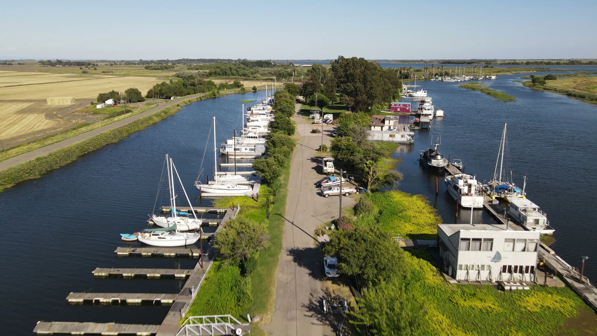
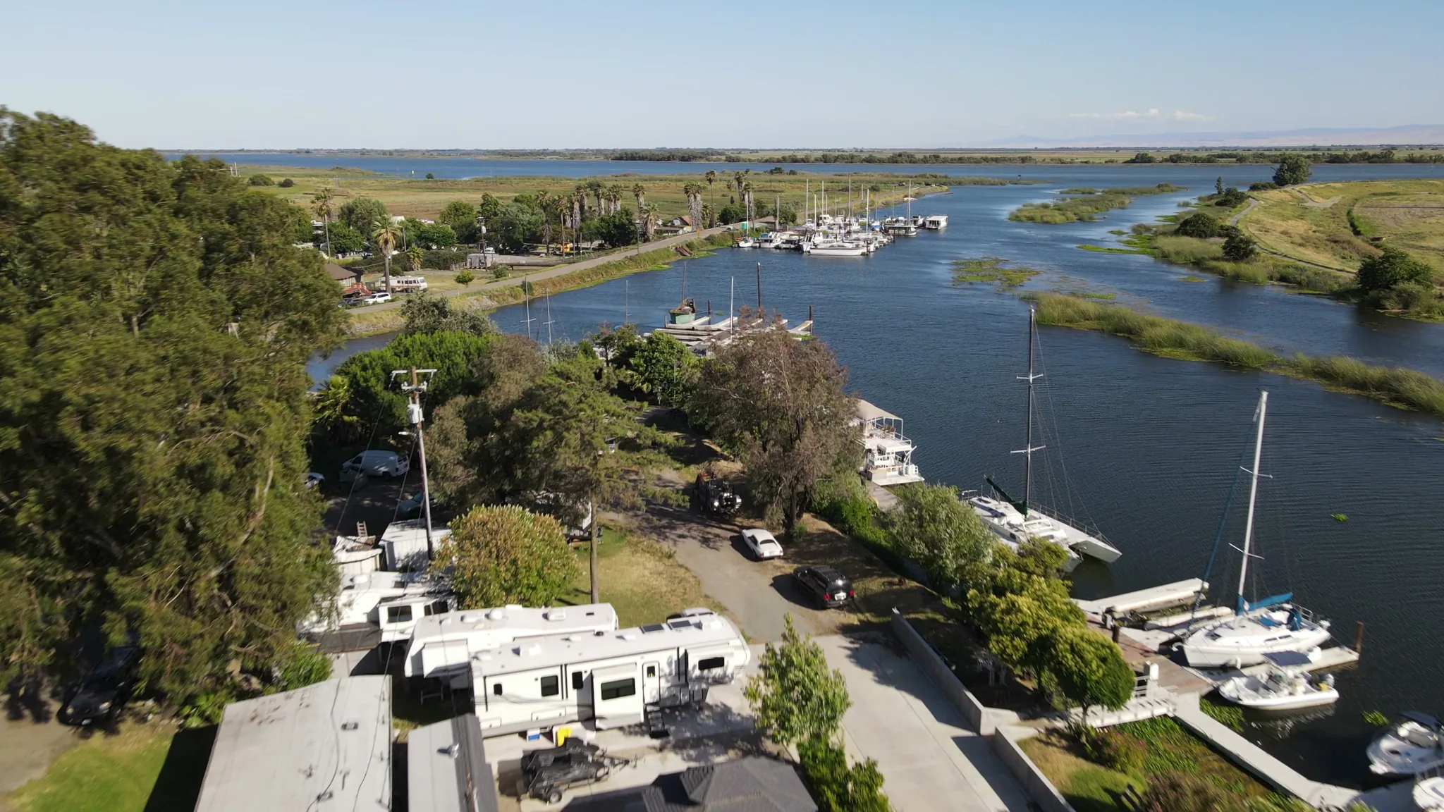
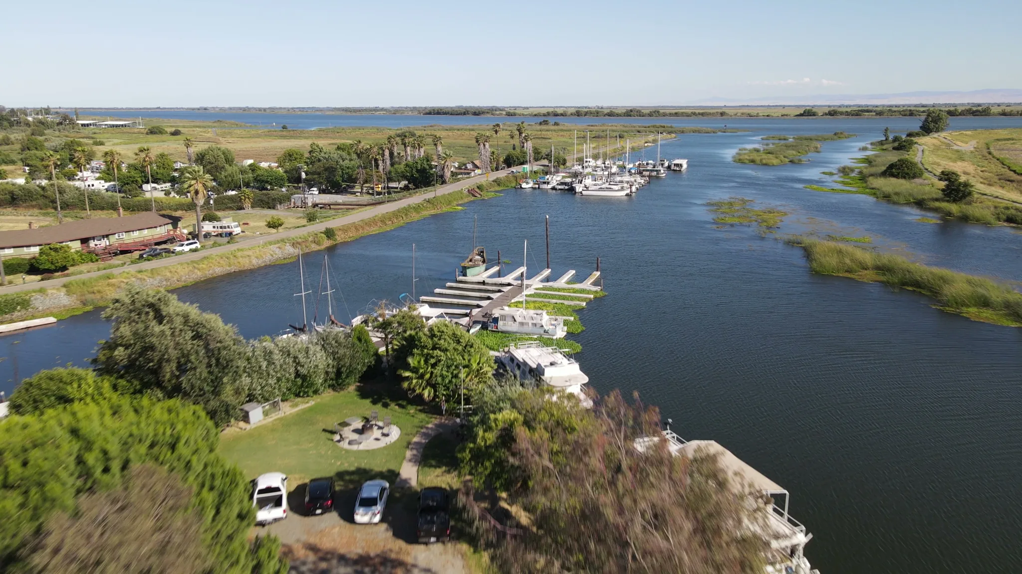
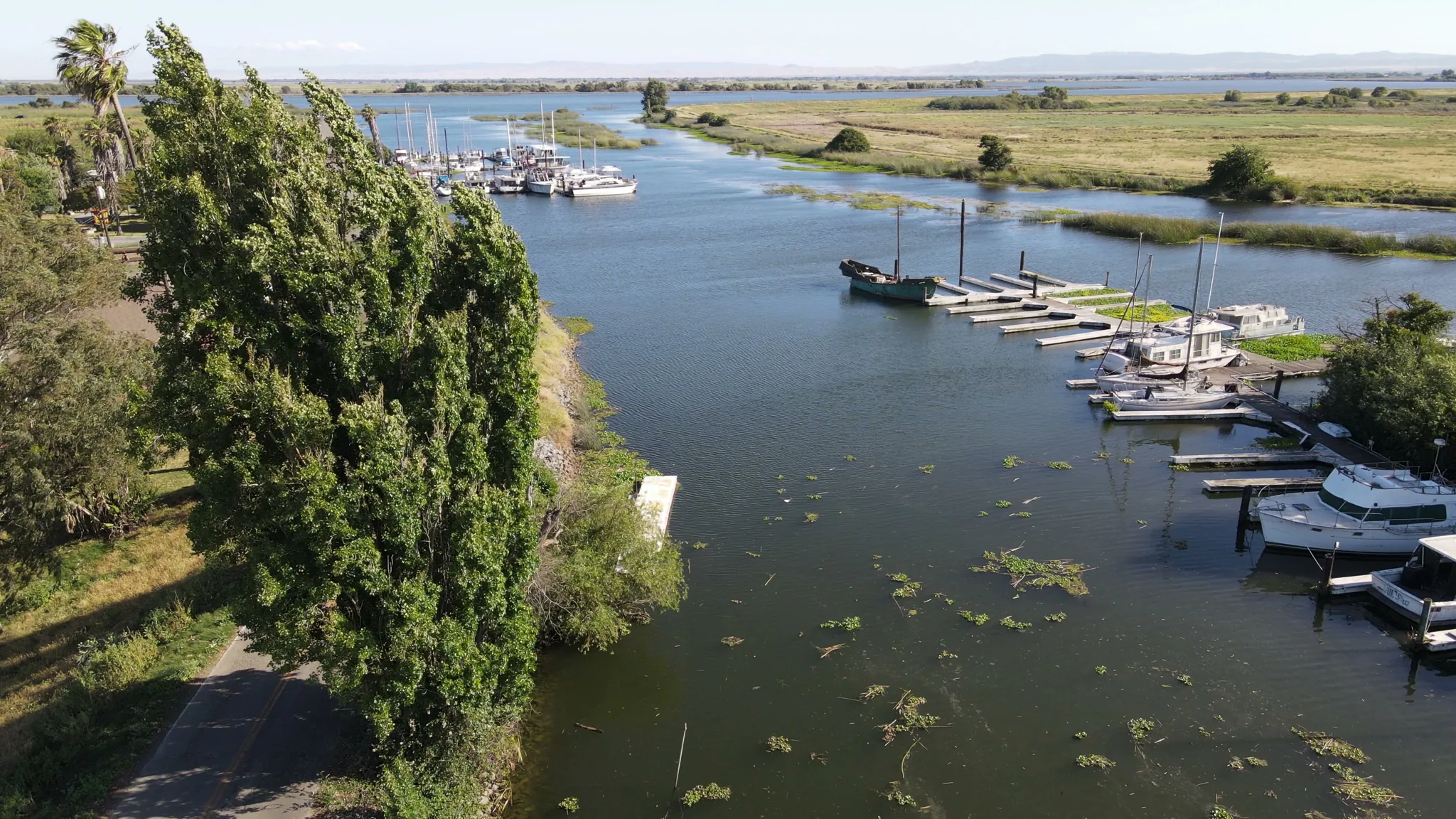
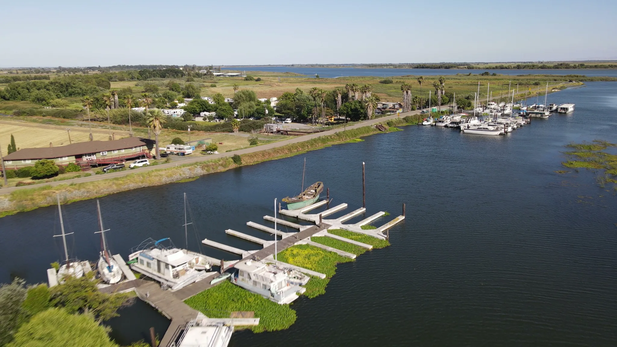
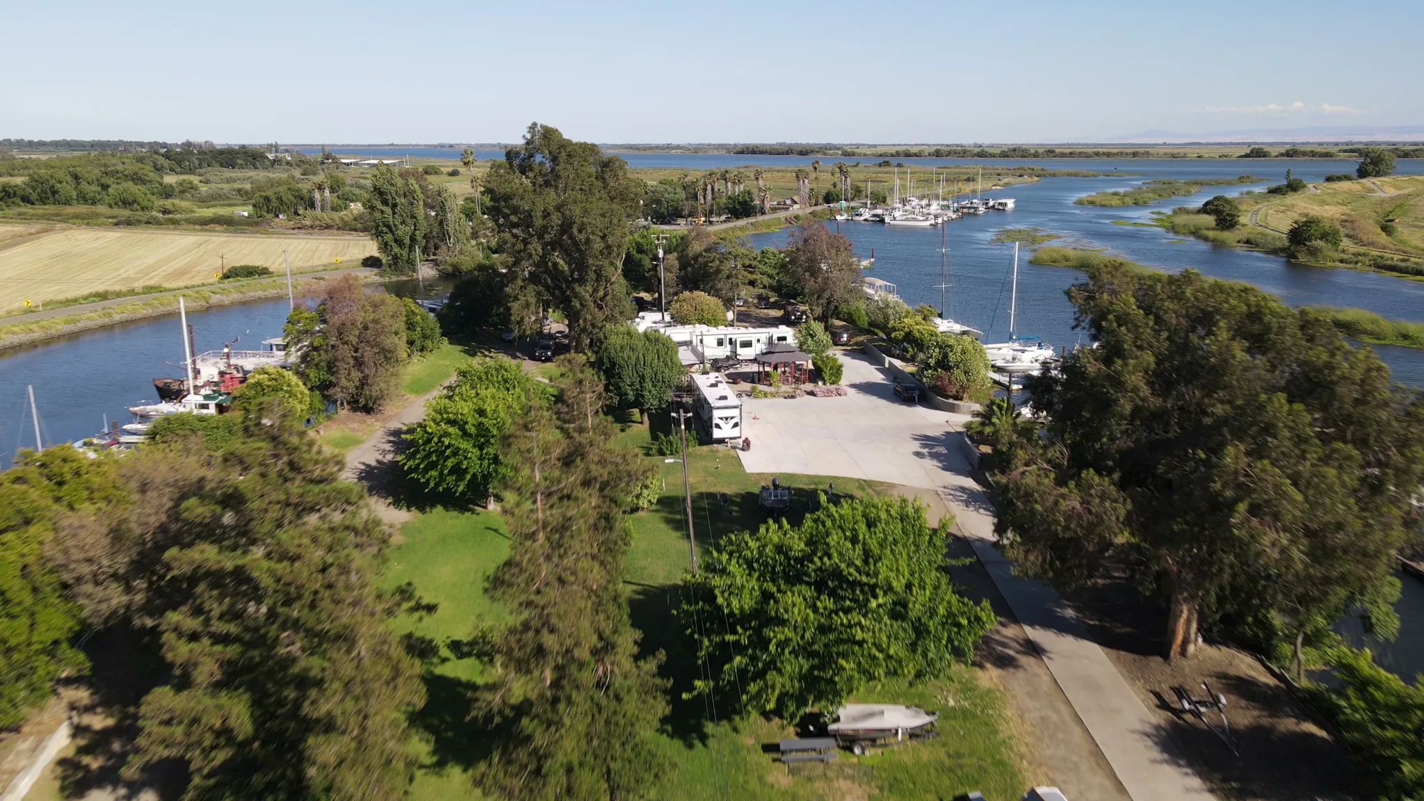
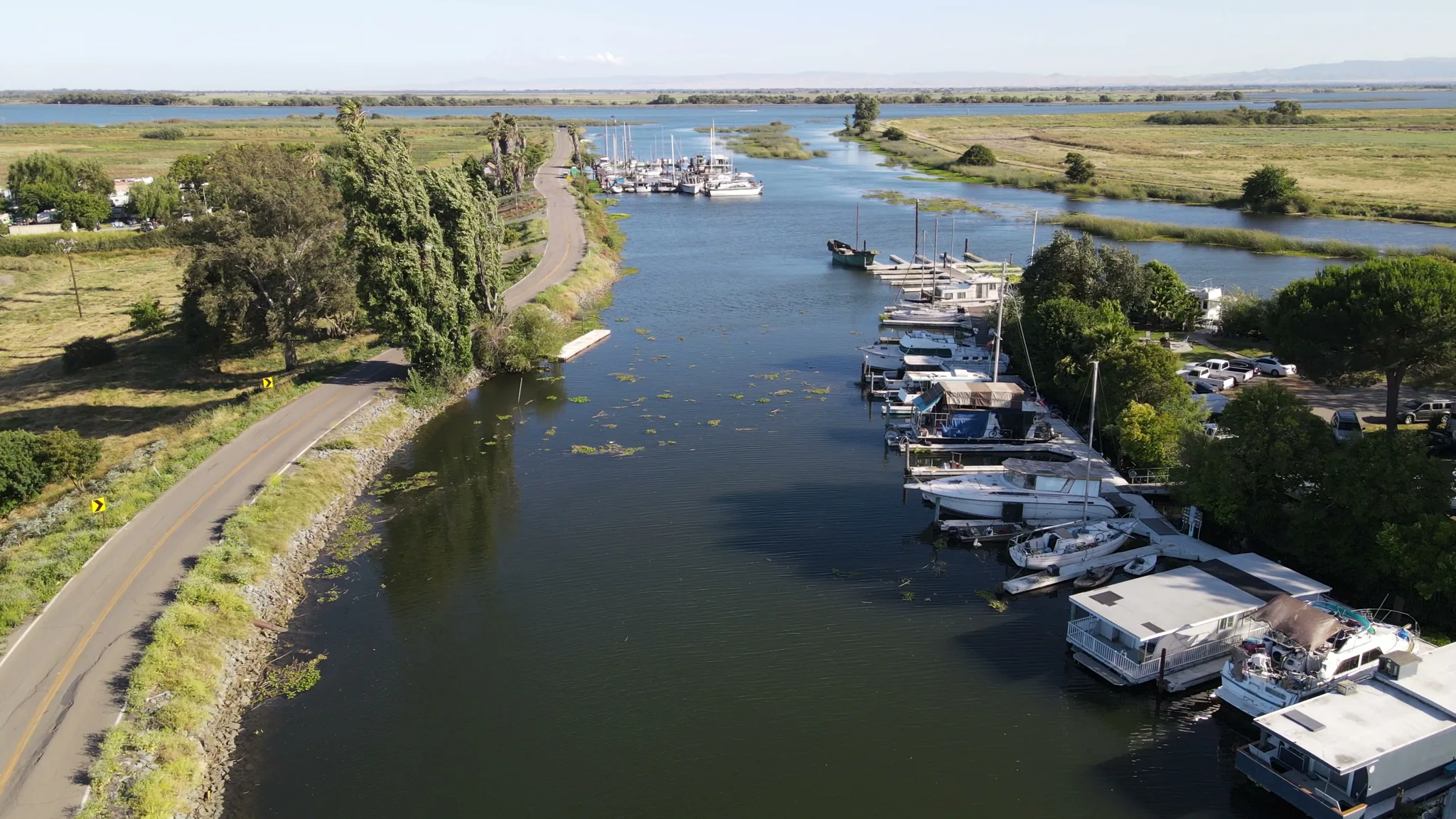
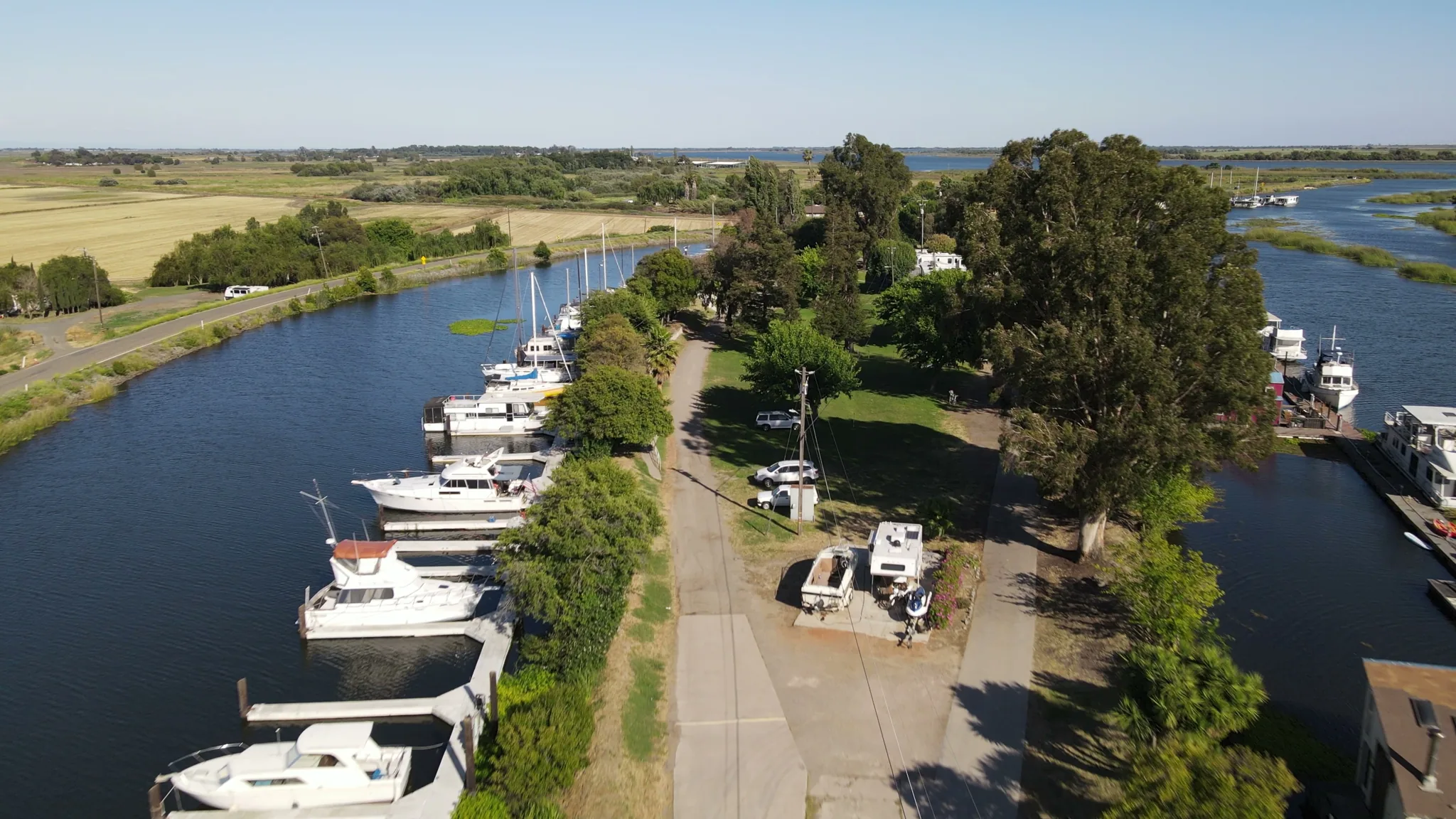
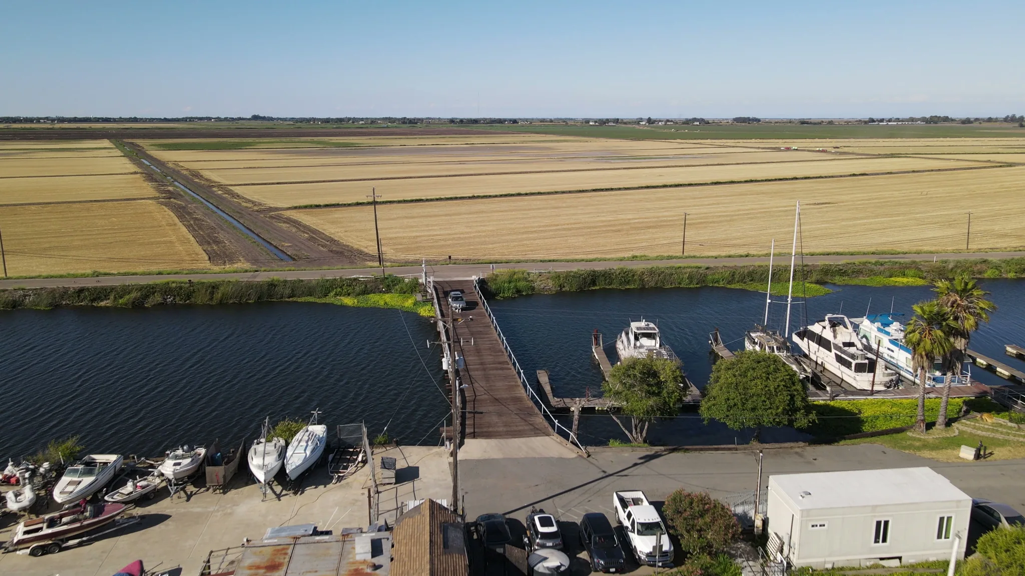
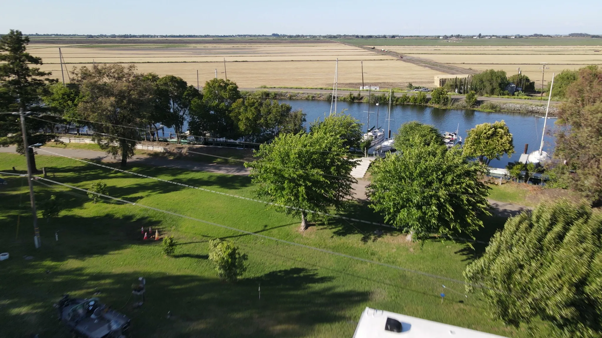
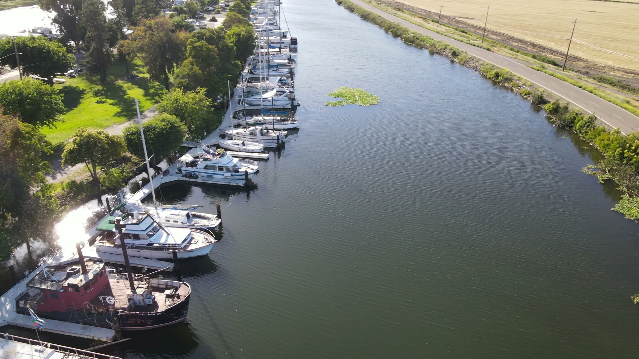
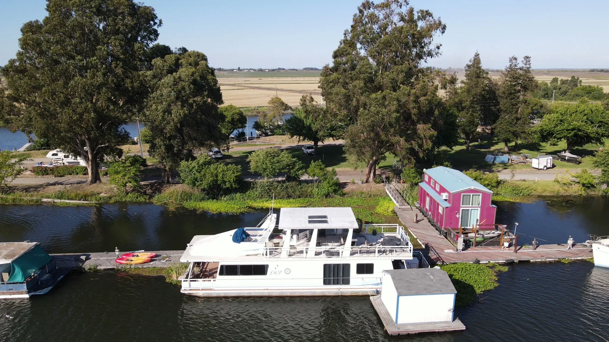
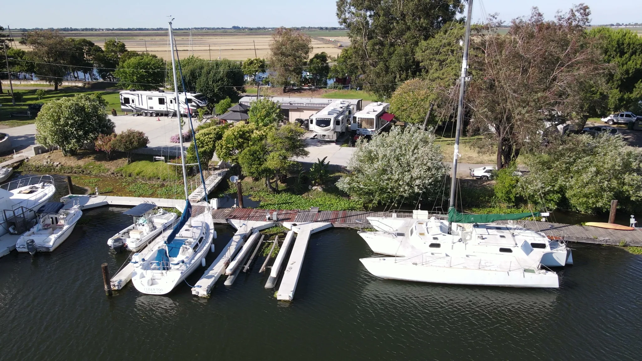
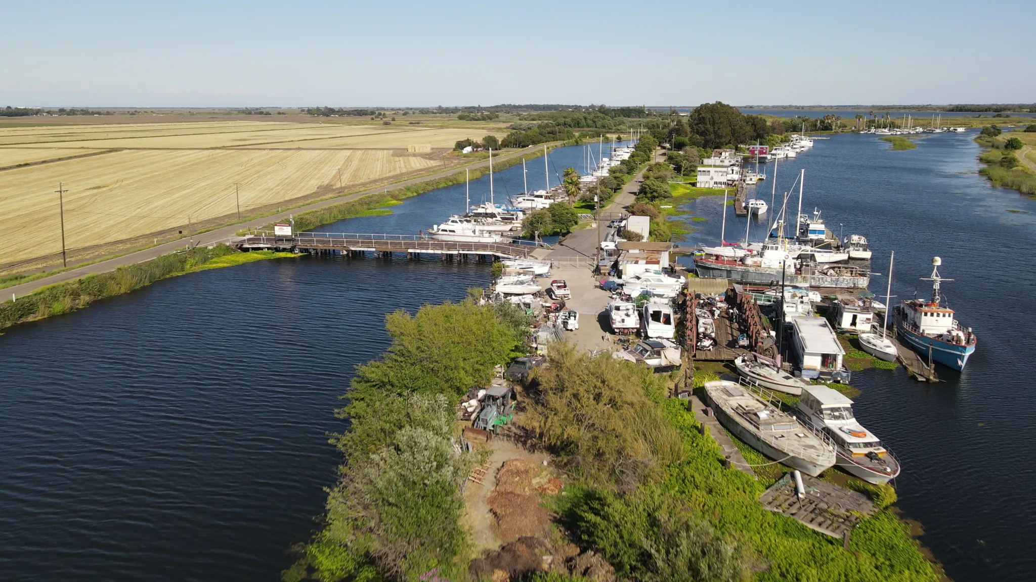
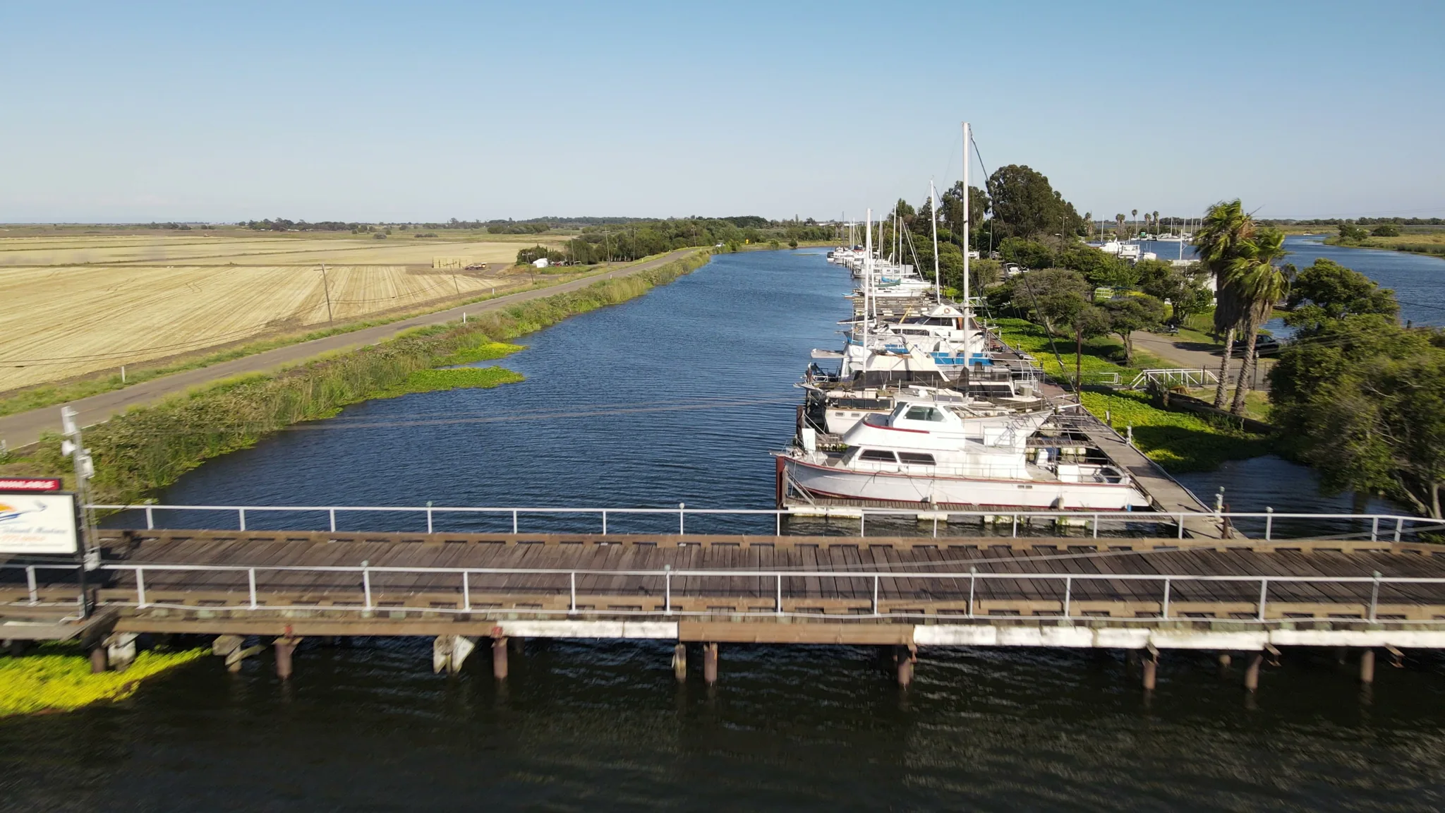
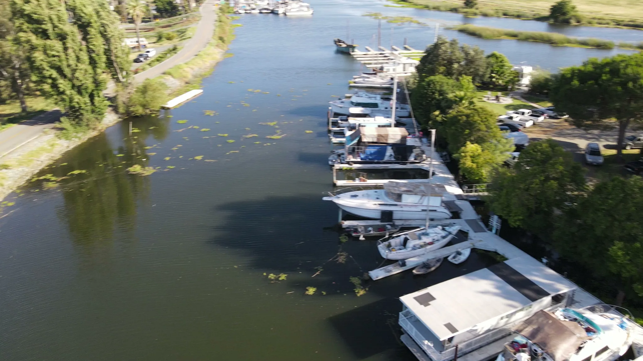
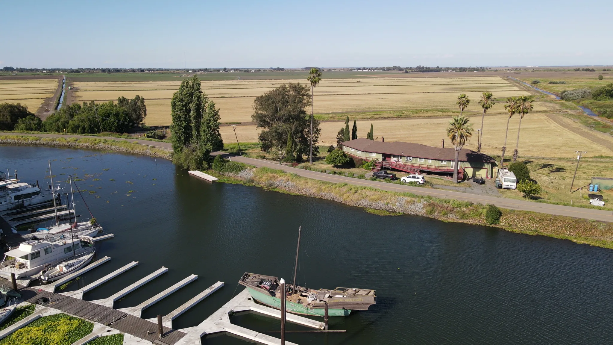
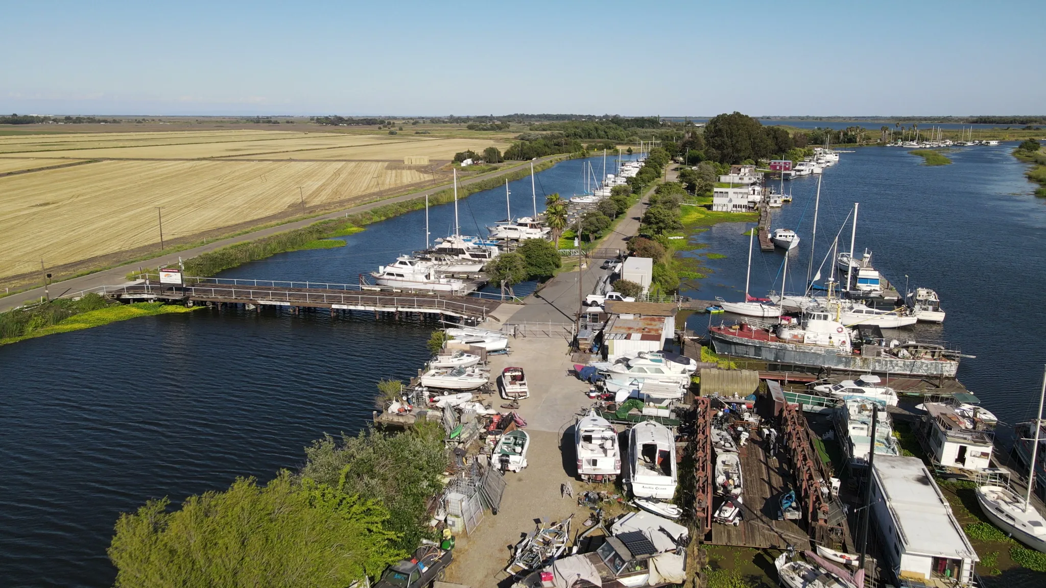
Shot this spring over Sevenmile Slough — the marina, the slips, and the slough opening onto the main Delta channel.
01
The Slough
Sevenmile Slough — sheltered, no-wake water that keeps your boat out of the wind and chop.
02
The Slips
Covered and open berths with shore power. Monthly and seasonal moorage on protected water.
03
Dry Storage
Room for boats, trailers, and RVs between trips. Short- and long-term spaces on site.
04
The Ramp
A public launch ramp with ample trailer parking. Back down, splash, and go.
05
Guest Moorage
Tie up for the day or overnight when you cruise in off the main Delta channels.
06
The Levee Road
Just off W Brannan Island Road — slow road in, river views the whole way.
07
The Point
Where the slough opens onto the main channel and a thousand miles of waterway.
08
The Sky
No light pollution to speak of. The Milky Way runs over the water in July.
Distances
90 min
From San Francisco — across the Bay Bridge, north on I-80, east on Highway 12.
60 min
From Sacramento — south on I-5, west on the levee road.
15 min
From Isleton & Rio Vista — slow road, river views all the way.